Pesterzsébet is a historically rich and socially diverse district located in the southern part of Budapest on the left bank of the Danube River. Officially designated as District XX, it represents a unique mix of traditional urban fabric, post-war housing estates, and industrial heritage. As a former independent town, Pesterzsébet has retained a distinct identity and community character, even as it has been increasingly absorbed into the metropolitan dynamics of Budapest.
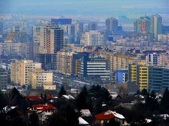
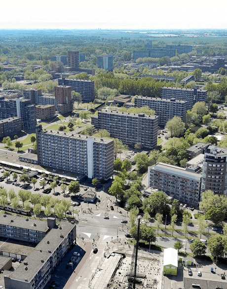
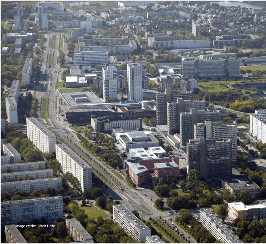
The district includes several large housing estates built during the socialist era, primarily from the 1960s to 1980s. These estates consist of prefabricated apartment blocks designed to meet the growing housing needs of urban workers. They were initially equipped with basic public services, including schools, health centers, shops, and green spaces—but many of these amenities have become outdated or underused over time.
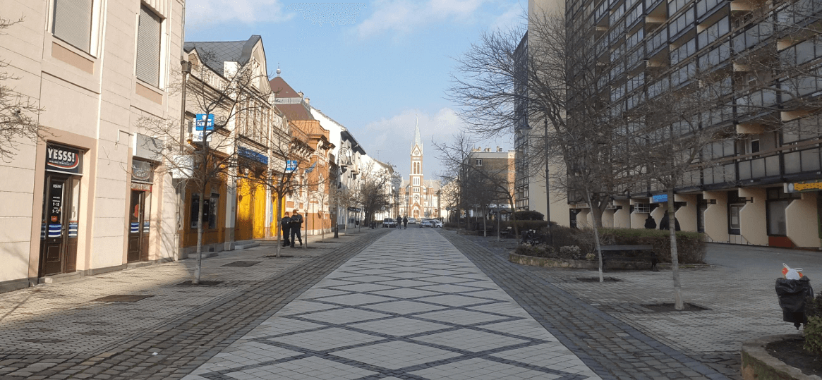
Mobility in Pesterzsébet reflects the broader trends of Budapest’s urban development. The district is well-connected to the city center by tram, suburban rail (HÉV), and bus lines. However, car dependency has grown in recent decades, resulting in traffic congestion and competition for public space. Despite this, many areas within the housing estates are walkable, and a network of sidewalks and green spaces supports local mobility.
Urban planning in Pesterzsébet faces the complex task of balancing heritage preservation, community needs, and urban regeneration. Some neighborhoods struggle with aging infrastructure and social disparities, while others are experiencing new investment and demographic change. Co-creative planning processes are increasingly important for addressing the fragmented landscape and ensuring that new interventions reflect the voices of local residents.
Recent efforts have focused on improving the quality of public space, revitalizing schools and community services, and expanding cycling and pedestrian infrastructure. These initiatives are part of a broader ambition to create 15-minute neighborhoods, where basic needs and amenities are accessible within walking or cycling distance.
Challenges for Urban Planning:
- Aging housing stock and infrastructure in socialist-era estates.
- Unequal access to social services and quality public spaces.
- Rising car use and lack of active mobility alternatives in some zones.
- Limited community engagement in past planning processes.
- Need for integrated approaches to regeneration and social inclusion.
Pesterzsébet plays a key role in the 15minESTATES project as a representative of large, peripheral housing estates in a transitioning post-socialist urban context. It offers valuable insights into how participatory, proximity-based planning can help reconnect neighborhoods, improve mobility, and enhance quality of life for diverse urban populations.